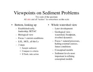
Slide deck investigates sources and transport of elevated mercury (~10 ppm) in shallow riverbed and floodplain sediments of the South River. It presents site maps and clam sampling, hypotheses (storm sewers, groundwater, buried high-Hg deposits, and floodplain sloughing), simple mixing math, geomorphic deposition (~1 cm/yr), planned sampling, and recommends EPA Method 1631 analysis.
File Type:
pdf
Categories:
Presentations
Publication Date :
Type :
Presentation
Review Notes :
The PDF is a slide presentation with maps, photos, and hypotheses but contains no clear author or publication date. WordPress upload metadata was not used. Document text and images support the topic, site locations, sampling plans, and analytical recommendation (EPA Method 1631). Some numeric labels and sample results are visible on maps but are not fully explained in the slides.