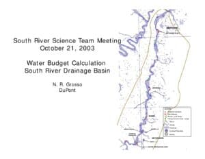
Slide presentation (Oct 21, 2003) presenting a water-budget calculation for the South River drainage basin (234.4 mi2). It compares hydrologic and climatologic approaches using USGS gaging data, precipitation and evapotranspiration estimates, and permitted diversions. Results estimate river flow ≈277–282 cfs (~16 in/yr) and indicate groundwater may supply about 30–50% of flow.
File Type:
pdf
Categories:
SRST Meeting Documents
Publication Date :
2003-10-21
Type :
Presentation
Review Notes :
Document is a slide deck for the South River Science Team meeting on 2003-10-21 authored/presented by N.R. Grosso (DuPont). Key figures (234.4 mi2 basin, 277–282 cfs, 30–50% GW contribution) are taken directly from slides. No additional publication metadata (publisher or DOI) is present. Spatial identification of groundwater sources is noted as unresolved within the slides.