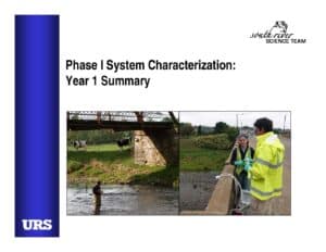
Slide deck summarizing Year 1 Phase I system characterization for the South River study. Covers monthly and storm sampling programs, physical and biological datasets, spatial data (aerial photos, LiDAR), habitat and submerged aquatic vegetation mapping, floodplain land‑use, PCA-based selection of Phase II areas, and proposed Year 2 studies including MeHg sampling and microbial/bioavailability work.
File Type:
pdf
Categories:
Presentations
Publication Date :
Type :
Presentation
Review Notes :
The PDF is a slide presentation with no explicit publication date. The WordPress filename implies an SRST meeting (April 17) but the slides do not show a date or explicit meeting association; therefore I did not assign a document_date or SRST Meeting Documents category.