
DURATION: April 2018 – October 2018
STATUS: Completed
RIVERBANK LOCATION: Downstream of the 2nd Street Bridge opposite Waynesboro City Shops and the wastewater treatment plant
RIVERBANK LENGTH: Total of 650 feet of bank remediation at two areas, with approximately 700 feet of bank between the two areas
ESTIMATED MERCURY INPUT FROM ERODING BANKS: 5.5%
OUTCOME:
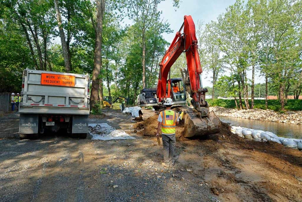
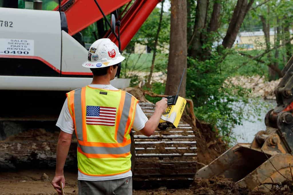
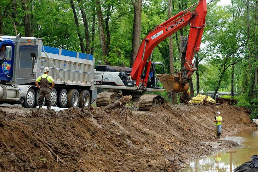
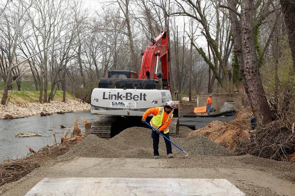
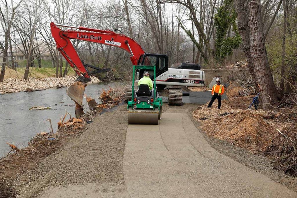
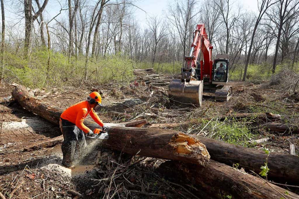
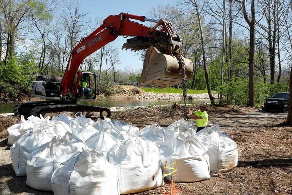
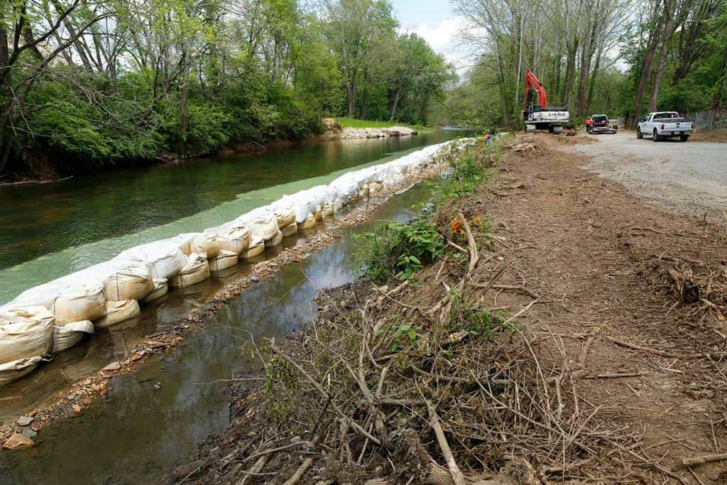
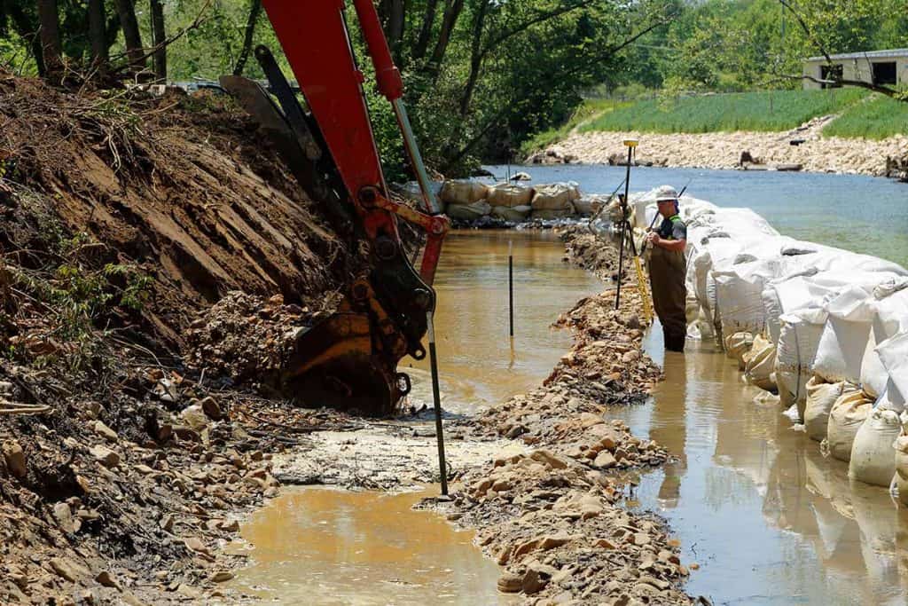
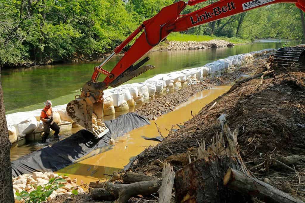
The designs for the two Allied Ready Mix riverbanks were modified to include a smaller profile of rip-rap on the face of the riverbank. (More rip-rap can be seen at Constitution Park and City Shops riverbanks.) For the remediation at Allied Ready Mix, the team constructed a 1,400-foot construction access road and created a staging area in the densely forested area. This work took almost two months to complete; extra care was taken to avoid damaging mature trees outside of the access road area. Although storms flooded the remediation area a few times during construction, very little re-work was needed. Portions of the riverbank that were remediated prior to flooding tolerated the high flows well, but some maintenance activities were necessary in the upstream portion of this location. Natural recruitment of native plant species, including silver maple, boxelder, and American sycamore, is occurring faster at this location than others, likely due to the embedded stone-toe design.
For Phase I of this work, samples were collected at the two remediated Allied Ready Mix riverbanks in Spring 2019. Analytical results from the laboratory are pending.
South River Watershed Coalition is a 501(c)3 charitable organization. Contributions to qualified 501(c)(3) organizations may be deductible as charitable contributions on a donor’s federal income tax return. Tax ID # 92-2890008