DURATION: October 2016 – February 2017
STATUS: Completed
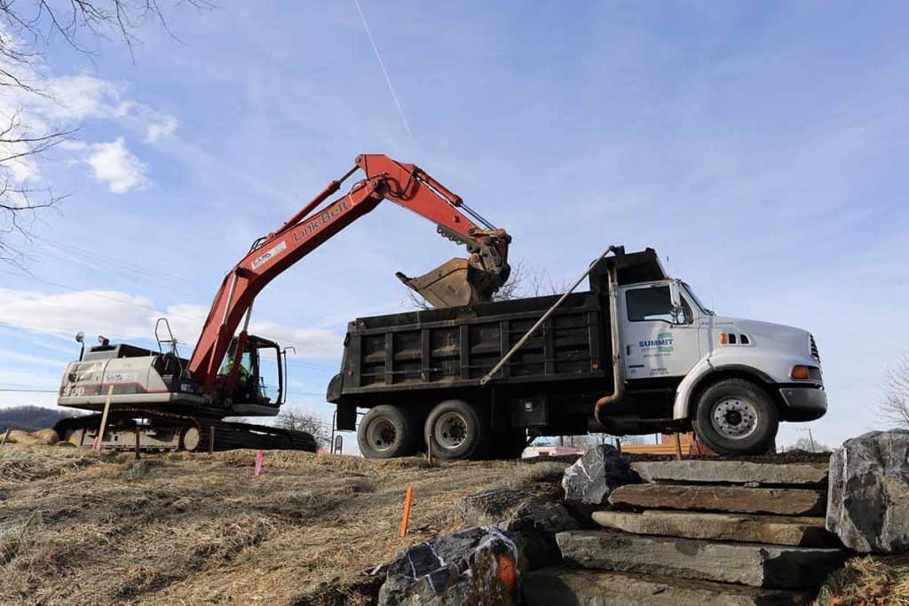
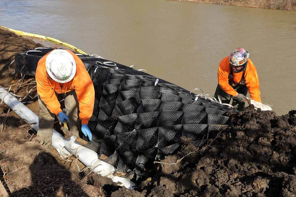
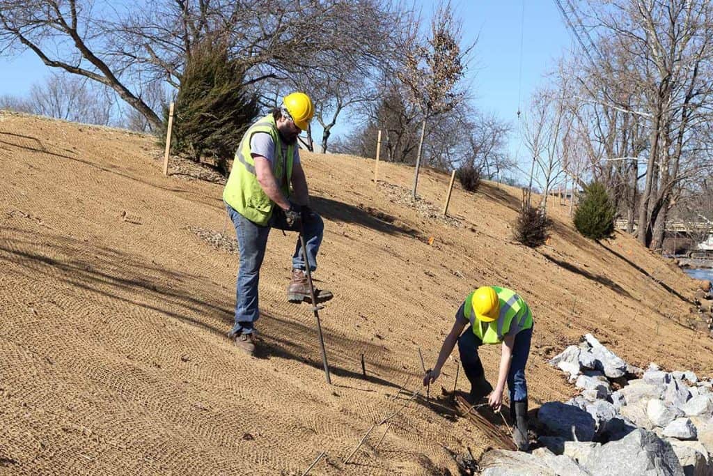
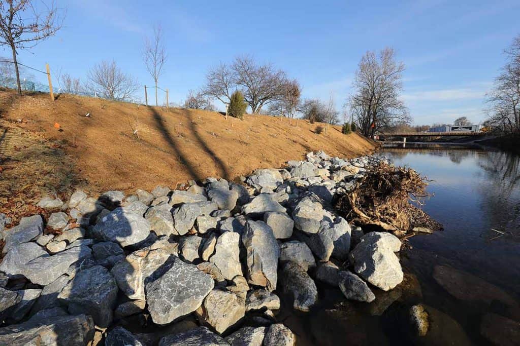
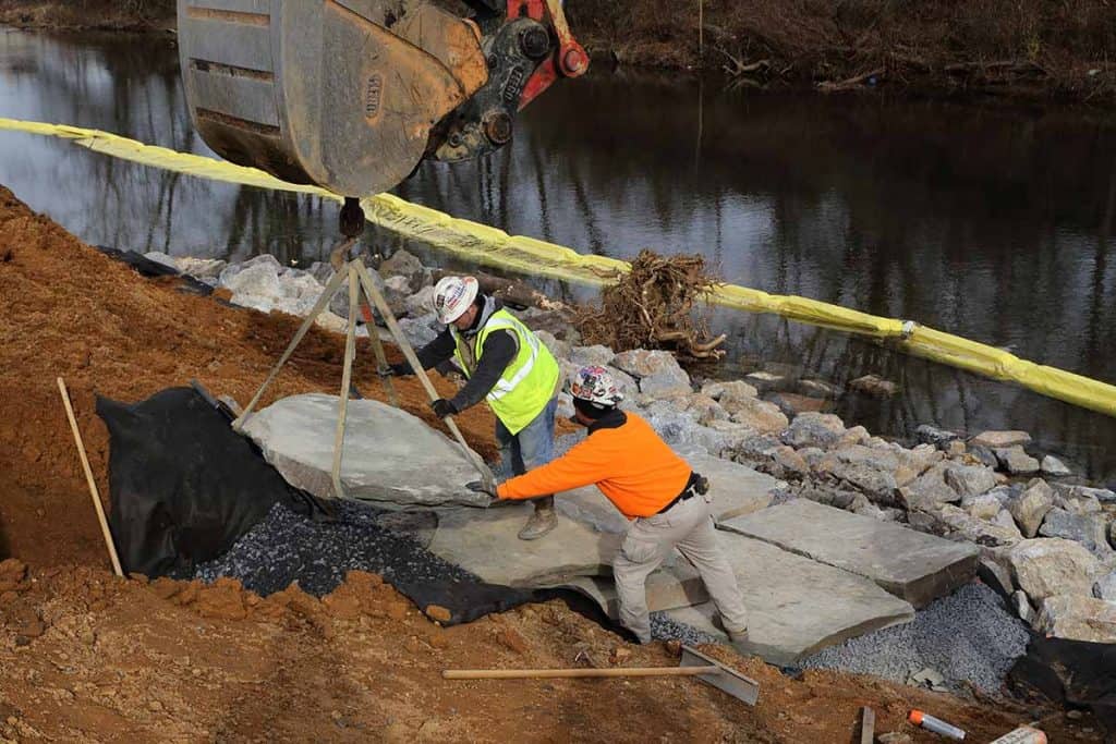
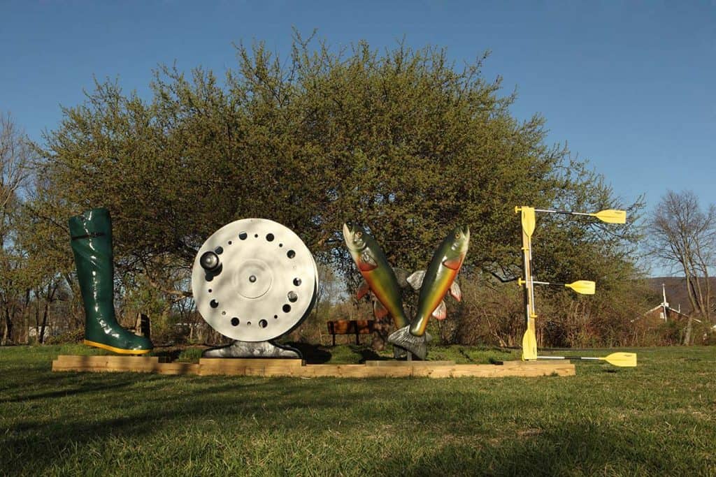
RIVERBANK LOCATION: In Constitution Park upstream of the Main Street Bridge and adjacent to the Dominion Pavilion and Love sculpture
RIVERBANK LENGTH: 500 feet
ESTIMATED MERCURY INPUT FROM ERODING BANKS: 12.8%
OUTCOME:
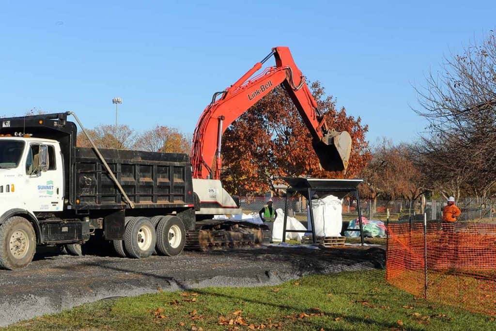
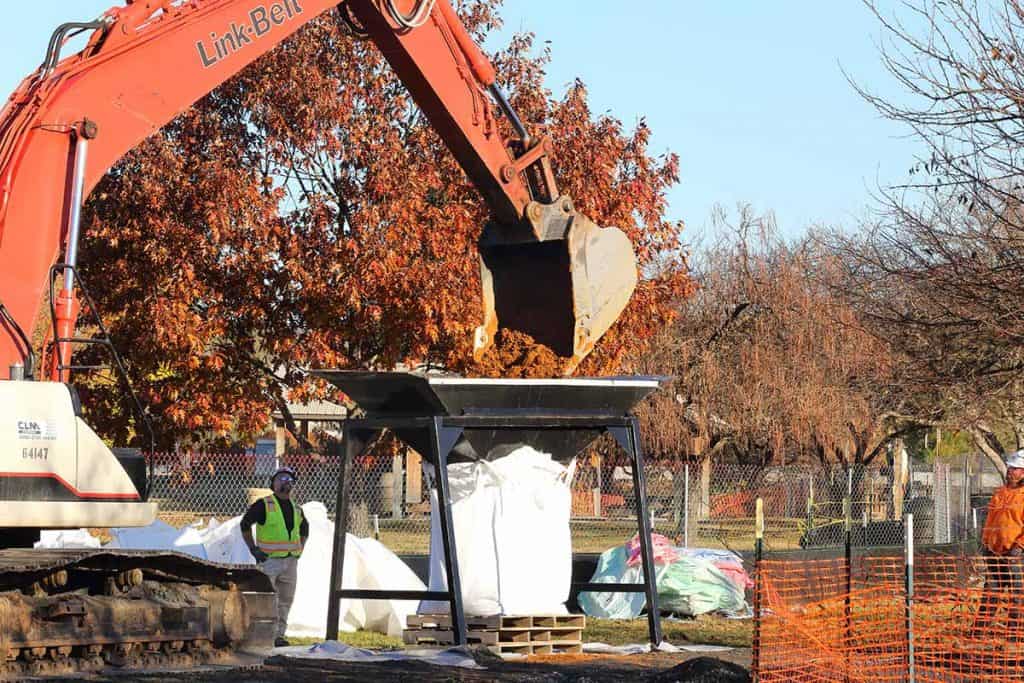
Mercury levels in sediment immediately adjacent to the riverbank began to decline within a year after completion and remailn similar to reach-wide average concentrations. A program is underway to control knotweed plants at this location. Efforts have included a series of targeted herbicide applications and physical removal. The lack of established vegetation at this location has made the riverbank more susceptible to erosion during flooding events. In 2019, maintenance activities included placing planting substrate, native live stakes and plant plugs.