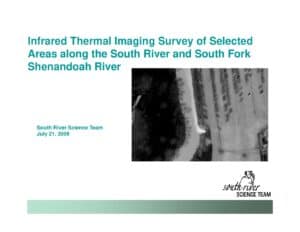
Slide presentation (July 21, 2009) summarizing an aerial infrared thermal-imaging survey flown March 24, 2009 by Stockton Infrared Thermographic Services. Objective was to identify groundwater discharge along the South River (Greenville to confluence with North River) and the South Fork Shenandoah to Island Ford. The survey produced ~8,900 images, 28 mosaics, and 44 thermal anomalies; mosaics and a KMZ are available.
File Type:
pdf
Categories:
SRST Meeting Documents
Publication Date :
2009-07-21
Type :
Presentation
Review Notes :
This is a slide deck presented to the South River Science Team on July 21, 2009 describing a March 24, 2009 aerial IR survey. All information is drawn directly from the slides; no additional inference (e.g., field verification of anomalies) was made.