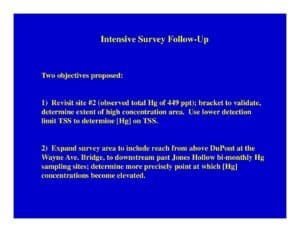
Field follow-up plan to revisit a high-total-mercury location (Site #2, ~449 ppt) and expand a river reach survey from upstream of DuPont at Wayne Ave Bridge downstream past Jones Hollow. Describes water sampling (total Hg, dissolved Hg, TSS, DOC, ions), Hydrolab monitoring, ~200-ft intervals, and sediment-sampling methods (McNeil sampler, percent fines/TOC standardization, replication).
File Type:
pdf
Categories:
Technical Documents
Publication Date :
Type :
Work Plan
Review Notes :
PDF contains objectives and proposed methods but no author or date. I categorized this as a Technical Documents -> Work Plan because it outlines sampling objectives and methods rather than presenting results. No explicit publication or meeting metadata visible; assumed internal follow-up survey planning.