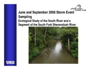
Slide deck presenting storm-event surface-water sampling on the South River and a segment of the South Fork Shenandoah River in June and September 2006. Describes goals and manual sampling at seven bridge locations, hydrograph-based intervals, realtime discharge/turbidity plots, and June results showing particulate and filtered total mercury and methylmercury behavior during rising and falling limbs.
File Type:
pdf
Categories:
Presentations
Publication Date :
1905-06-28
Type :
Presentation
Review Notes :
Document is a slide presentation. The URS logo appears on the cover but no explicit authoring organization or exact publication date beyond 2006 is provided in the slides; date chosen as 2006 based on slide content.