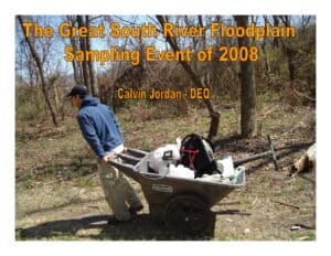
Slide presentation summarizing a 2008 South River floodplain sampling event. Teams sampled ~618 sites (planned 600) across upland and wetland zones, logging 2,700 man-hours. Results identify mercury hotspots in the 0–5 year floodplain and in the first river reach (Main St. to Hopeman Pkwy). Most samples exceeded background; a few exceeded residential and one composite exceeded industrial screening.
File Type:
pdf
Categories:
Presentations
Publication Date :
1905-06-30
Type :
Presentation
Review Notes :
Document is a slide deck authored/presented by Calvin Jordan (DEQ). The year 2008 is taken from slide content showing sampling dates; no specific presentation date is shown. Location references (e.g., Allied Concrete, Waynesboro, reaches) appear on slides and were not inferred beyond visible text.