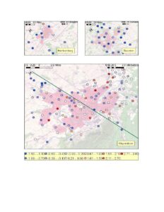
Map showing the Waynesboro area with colored point symbols distributed over a shaded polygon footprint, plus inset maps for Harrisonburg and Staunton. Points are color-coded by numeric ranges shown in a legend; the map includes scale bars, north arrows, and a diagonal line across Waynesboro. The specific parameter and any date are not legible.
File Type:
pdf
Categories:
Maps
Publication Date :
Type :
Map
Review Notes :
Image resolution limits legibility of the legend labels and any date. The map displays color-coded numeric ranges but the variable being mapped (contaminant or metric) cannot be determined from the PDF alone.
Downloads:
1